Musket Lane, near Hollingbourne
Introduction
The photograph on this page of Musket Lane, near Hollingbourne by Chris Whippet as part of the Geograph project.
The Geograph project started in 2005 with the aim of publishing, organising and preserving representative images for every square kilometre of Great Britain, Ireland and the Isle of Man.

There are currently over 7.5m images from over 14,400 individuals and you can help contribute to the project by visiting https://www.geograph.org.uk
Musket Lane, near Hollingbourne
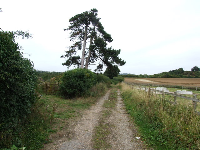
Image: © Chris Whippet Taken: 1 Sep 2013
This lane used to lead from the A20 to Hollingbourne but was stopped up by the construction of the M20.
Images are licensed for reuse under creativecommons.org/licenses/by-sa/2.0
Image Location
Latitude
51.262915
Longitude
0.608367