The Priory Wall interpreted
Introduction
The photograph on this page of The Priory Wall interpreted by Christine Johnstone as part of the Geograph project.
The Geograph project started in 2005 with the aim of publishing, organising and preserving representative images for every square kilometre of Great Britain, Ireland and the Isle of Man.

There are currently over 7.5m images from over 14,400 individuals and you can help contribute to the project by visiting https://www.geograph.org.uk
The Priory Wall interpreted
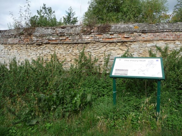
Image: © Christine Johnstone Taken: 30 Aug 2013
An Augustinian priory was built here in 1142. This boundary wall [and some hollows that were once ponds] are now the only remains. The wall is a scheduled ancient monument.
Images are licensed for reuse under creativecommons.org/licenses/by-sa/2.0
Image Location
Latitude
52.131651
Longitude
-0.437914