High Street North and South, Ruskington
Introduction
The photograph on this page of High Street North and South, Ruskington by Dave Hitchborne as part of the Geograph project.
The Geograph project started in 2005 with the aim of publishing, organising and preserving representative images for every square kilometre of Great Britain, Ireland and the Isle of Man.

There are currently over 7.5m images from over 14,400 individuals and you can help contribute to the project by visiting https://www.geograph.org.uk
High Street North and South, Ruskington
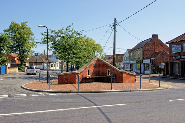
Image: © Dave Hitchborne Taken: 26 Aug 2013
Across from Church Street are High Street North and High Street South, which are separated by The Beck.
Images are licensed for reuse under creativecommons.org/licenses/by-sa/2.0
Image Location
Latitude
53.045847
Longitude
-0.385968