Bostall Woods from Wickham Lane
Introduction
The photograph on this page of Bostall Woods from Wickham Lane by Marathon as part of the Geograph project.
The Geograph project started in 2005 with the aim of publishing, organising and preserving representative images for every square kilometre of Great Britain, Ireland and the Isle of Man.

There are currently over 7.5m images from over 14,400 individuals and you can help contribute to the project by visiting https://www.geograph.org.uk
Bostall Woods from Wickham Lane
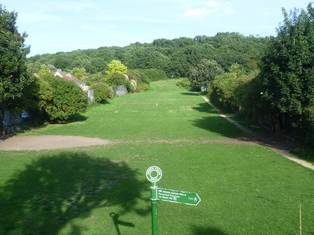
Image: © Marathon Taken: 30 Aug 2013
This grassy area is one of the approaches to Bostall Woods. It is seen here from Wickham Lane. As can be seen by the signpost it is followed by the Green Chain Walk.
Images are licensed for reuse under creativecommons.org/licenses/by-sa/2.0
Image Location
Latitude
51.481881
Longitude
0.104347