Road over water and under rail
Introduction
The photograph on this page of Road over water and under rail by David Martin as part of the Geograph project.
The Geograph project started in 2005 with the aim of publishing, organising and preserving representative images for every square kilometre of Great Britain, Ireland and the Isle of Man.

There are currently over 7.5m images from over 14,400 individuals and you can help contribute to the project by visiting https://www.geograph.org.uk
Road over water and under rail
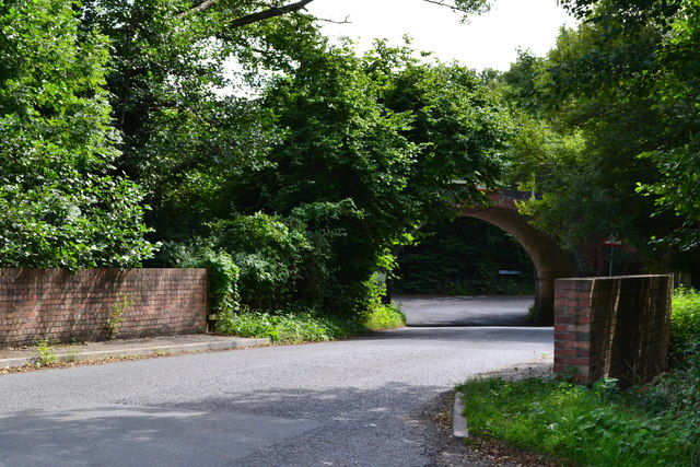
Image: © David Martin Taken: 30 Aug 2013
The road into West Grimstead crosses a small brook that will become the River Dun before passing under the Romsey to Salisbury railway line.
Images are licensed for reuse under creativecommons.org/licenses/by-sa/2.0
Image Location
Latitude
51.042162
Longitude
-1.704833