Heath: site of former main-line station
Introduction
The photograph on this page of Heath: site of former main-line station by Ben Brooksbank as part of the Geograph project.
The Geograph project started in 2005 with the aim of publishing, organising and preserving representative images for every square kilometre of Great Britain, Ireland and the Isle of Man.

There are currently over 7.5m images from over 14,400 individuals and you can help contribute to the project by visiting https://www.geograph.org.uk
Heath: site of former main-line station
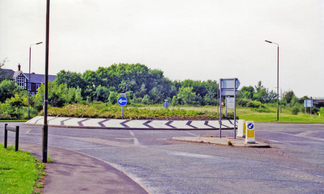
Image: © Ben Brooksbank Taken: 20 Jun 1998
View NW on Hardwick Road at the A6175 roundabout, Heath station having been just the other side of the present roundabout. It was on the Sheffield via Staveley (to right) - (to left) Nottingham section of the ill-fated ex-GCR 'London Extension' main line; also the Chesterfield Loop on this route turned off a mile or so to the north (right), rejoining the through line at Staveley. The station was closed to passengers 4/3/63, when local services ceased (to goods on 12/6/65), but main line services continued until 5/9/66, with final closure on 11/9/67. (Cf. Image]).
Images are licensed for reuse under creativecommons.org/licenses/by-sa/2.0
Image Location
Latitude
53.19058
Longitude
-1.351014