B1054 passes Clay Wall House
Introduction
The photograph on this page of B1054 passes Clay Wall House by Stuart Logan as part of the Geograph project.
The Geograph project started in 2005 with the aim of publishing, organising and preserving representative images for every square kilometre of Great Britain, Ireland and the Isle of Man.

There are currently over 7.5m images from over 14,400 individuals and you can help contribute to the project by visiting https://www.geograph.org.uk
B1054 passes Clay Wall House
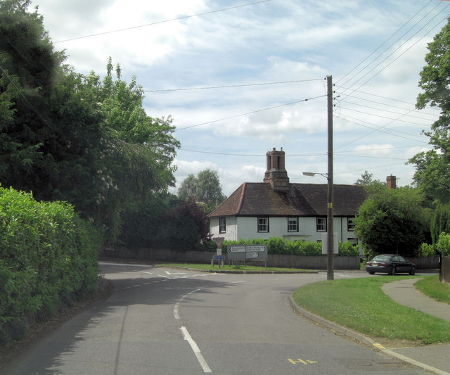
Image: © Stuart Logan Taken: 28 Jun 2013
In the apex of the junction between the B1054 - Blois Road - and the B1057 - Chapel Street - lies Clay Wall House. Parts of it have been there since around 1600 and it is now Grade II listed with English Heritage Building ID: 114212. In base of the prominent main chimney-stack there are 2 recessed panels, with the date 1614 inscribed in modern plaster. It has 4 octagonal shafts, but has been rebuilt at the top.
Images are licensed for reuse under creativecommons.org/licenses/by-sa/2.0
Image Location
Latitude
52.044808
Longitude
0.448757