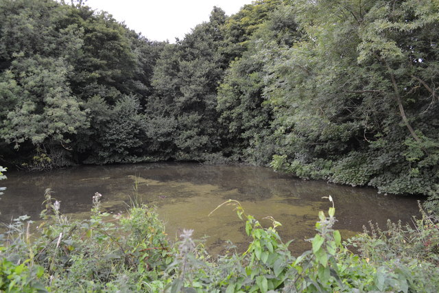
Jarvill's Dam, behind Church Street, Oughtibridge - 1
Introduction
The photograph on this page of Jarvill's Dam, behind Church Street, Oughtibridge - 1 by Terry Robinson as part of the Geograph project.
The Geograph project started in 2005 with the aim of publishing, organising and preserving representative images for every square kilometre of Great Britain, Ireland and the Isle of Man.
There are currently over 7.5m images from over 14,400 individuals and you can help contribute to the project by visiting https://www.geograph.org.uk

Image: © Terry Robinson Taken: 28 Aug 2013
The water from Jarvill's Dam was used to power the Water Wheel at Jarvill's Mill which was situated to the right of this view. The Mill has long gone but the Dam remains as a haven for local wildlife and is a regular fishing place for the local Herons ... they know it as MacJarvill's ... see ... Image The Mill is filled by Coumes Brook which flows from the hills above Oughtibridge, past the Dam and then after a couple of hundred metres into the River Don in Oughtibridge centre ... see ... Image For more views of the Dam ... see ... Image Image Image Image For more information and views of the Mill ... Image Image Image

