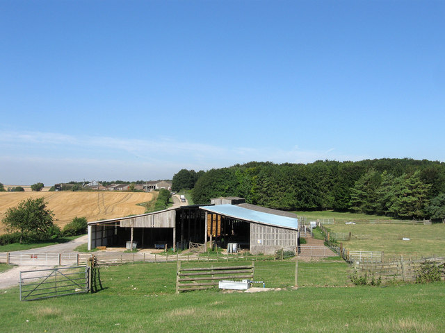
Lee Farm
Introduction
The photograph on this page of Lee Farm by Simon Carey as part of the Geograph project.
The Geograph project started in 2005 with the aim of publishing, organising and preserving representative images for every square kilometre of Great Britain, Ireland and the Isle of Man.
There are currently over 7.5m images from over 14,400 individuals and you can help contribute to the project by visiting https://www.geograph.org.uk

Image: © Simon Carey Taken: 27 Aug 2013
The view takes in both the old site of the farm and the new. The original site of the farm lay amongst the trees beyond the barn in the foreground, see Image, which was used for target practice during the Second World War and largely destroyed. The new farmhouse and farm was rebuilt afterwards but further along where the current buildings are located. The farm itself is situated in a small valley that is bounded by Barpham Hill, Harrow Hill and the southern slopes of Kithurst Hill. Its remoteness meant the valley was an ideal location for a medieval leper colony and local paths can still be traced to both Clapham and Burpham churches where leper windows still exist, whilst Arundel contained a hospital that treated those with the disease. Both the colony and the settlement of Barpham at the southern end of the valley had disappeared by the end of the medieval period leaving just a couple of farmsteads. That around Lee Farm formed a detached part of Clapham parish until transferred to Angmering in 1933

