Fenced-off former Cowbridge Comprehensive School
Introduction
The photograph on this page of Fenced-off former Cowbridge Comprehensive School by Jaggery as part of the Geograph project.
The Geograph project started in 2005 with the aim of publishing, organising and preserving representative images for every square kilometre of Great Britain, Ireland and the Isle of Man.

There are currently over 7.5m images from over 14,400 individuals and you can help contribute to the project by visiting https://www.geograph.org.uk
Fenced-off former Cowbridge Comprehensive School
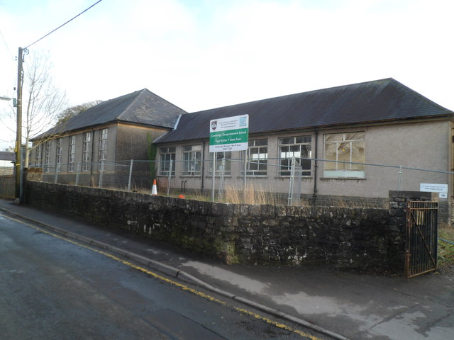
Image: © Jaggery Taken: 19 Jan 2012
Viewed across Town Mill Road in January 2012. This is part of the former Cowbridge Comprehensive School site. The school relocated to new buildings in Aberthin Road in 2010. http://www.geograph.org.uk/photo/2188603
Images are licensed for reuse under creativecommons.org/licenses/by-sa/2.0
Image Location
Latitude
51.460847
Longitude
-3.450883