Footpath, Rodgemonts
Introduction
The photograph on this page of Footpath, Rodgemonts by Derek Harper as part of the Geograph project.
The Geograph project started in 2005 with the aim of publishing, organising and preserving representative images for every square kilometre of Great Britain, Ireland and the Isle of Man.

There are currently over 7.5m images from over 14,400 individuals and you can help contribute to the project by visiting https://www.geograph.org.uk
Footpath, Rodgemonts
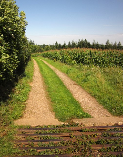
Image: © Derek Harper Taken: 22 Aug 2013
Chawleigh Footpath 15 leaves Rodgemonts Lane across this cattle grid and follows the track to Rodgemonts and Rodgemonts Wood past a field of maize.
Images are licensed for reuse under creativecommons.org/licenses/by-sa/2.0
Image Location
Latitude
50.903417
Longitude
-3.861437