Holywell Way at the junction of Long Lane
Introduction
The photograph on this page of Holywell Way at the junction of Long Lane by David Howard as part of the Geograph project.
The Geograph project started in 2005 with the aim of publishing, organising and preserving representative images for every square kilometre of Great Britain, Ireland and the Isle of Man.

There are currently over 7.5m images from over 14,400 individuals and you can help contribute to the project by visiting https://www.geograph.org.uk
Holywell Way at the junction of Long Lane
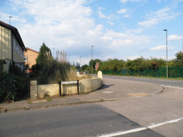
Image: © David Howard Taken: 26 Aug 2013
The prefab style houses on the left have nearly all been demolished for new blocks of flats, the construction is well over half way completed on the estate.
Images are licensed for reuse under creativecommons.org/licenses/by-sa/2.0
Image Location
Latitude
51.447951
Longitude
-0.467976