Footbridge by the Erme
Introduction
The photograph on this page of Footbridge by the Erme by jeff collins as part of the Geograph project.
The Geograph project started in 2005 with the aim of publishing, organising and preserving representative images for every square kilometre of Great Britain, Ireland and the Isle of Man.

There are currently over 7.5m images from over 14,400 individuals and you can help contribute to the project by visiting https://www.geograph.org.uk
Footbridge by the Erme
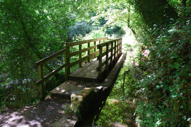
Image: © jeff collins Taken: 21 Aug 2013
Part of the old leat can be seen on the right of this bridge. The River Erme is just visible through the trees. This footbridge was built a few years ago after very heavy rain washed part of the footpath away.
Images are licensed for reuse under creativecommons.org/licenses/by-sa/2.0
Image Location
Latitude
50.395835
Longitude
-3.920834