South Stoke
Introduction
The photograph on this page of South Stoke by Simon Carey as part of the Geograph project.
The Geograph project started in 2005 with the aim of publishing, organising and preserving representative images for every square kilometre of Great Britain, Ireland and the Isle of Man.
There are currently over 7.5m images from over 14,400 individuals and you can help contribute to the project by visiting https://www.geograph.org.uk

Image: © Simon Carey Taken: 23 Aug 2013
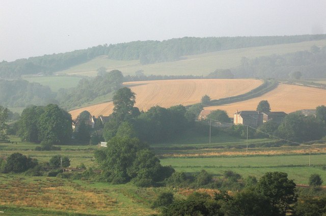
A view of the small village from the Lane to Canada. Running left to right in the foreground is the Arun Valley railway with the River Arun beyond, the white coloured South Stoke Bridge just visible beyond the trees centre left. The Old Rectory is visible beyond the bridge though St Leonard's church is obscured by the large elm. To the right is South Stoke Farm. Splitting the harvested wheat fields beyond is the only access road in and out of the village as it heads southwards via Offham to Arundel. The higher ground is part of Arundel Park. Whilst much of the early morning mist is disappearing a remnant gives the view a distinctively hazy look.

