Track to Sleights Farm
Introduction
The photograph on this page of Track to Sleights Farm by Phil Catterall as part of the Geograph project.
The Geograph project started in 2005 with the aim of publishing, organising and preserving representative images for every square kilometre of Great Britain, Ireland and the Isle of Man.

There are currently over 7.5m images from over 14,400 individuals and you can help contribute to the project by visiting https://www.geograph.org.uk
Track to Sleights Farm
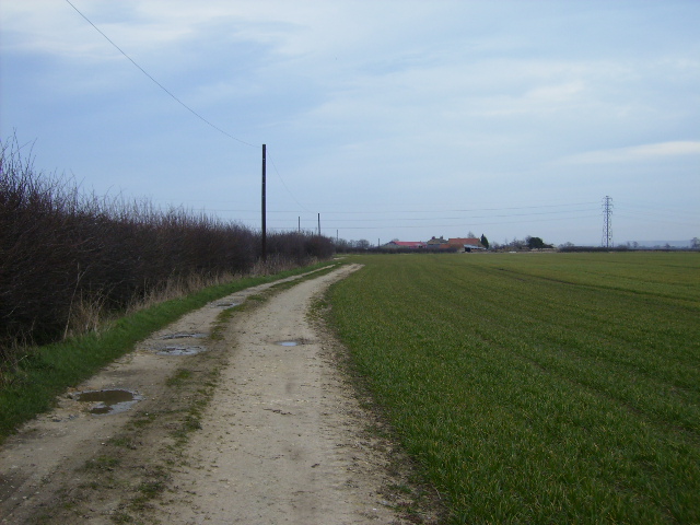
Image: © Phil Catterall Taken: 11 Mar 2007
The farm can be seen 500m east of where this picture was taken.
Images are licensed for reuse under creativecommons.org/licenses/by-sa/2.0
Image Location
Latitude
54.172598
Longitude
-0.879845