On Burns Street
Introduction
The photograph on this page of On Burns Street by John Sutton as part of the Geograph project.
The Geograph project started in 2005 with the aim of publishing, organising and preserving representative images for every square kilometre of Great Britain, Ireland and the Isle of Man.

There are currently over 7.5m images from over 14,400 individuals and you can help contribute to the project by visiting https://www.geograph.org.uk
On Burns Street
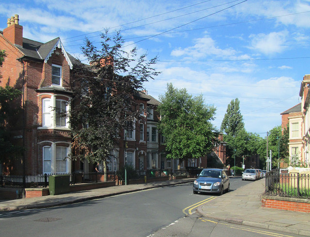
Image: © John Sutton Taken: 23 Aug 2013
An August-morning view from the corner of Gedling Grove, looking towards Forest Road West. These streets of substantial houses are part of Nottingham's first suburbs, built to the north of the city's mediaeval core after the Enclosure Act of 1845.
Images are licensed for reuse under creativecommons.org/licenses/by-sa/2.0
Image Location


Leaflet Map data © OpenStreetMap
Latitude
52.960998
Longitude
-1.164196