Railway embankment and debris
Introduction
The photograph on this page of Railway embankment and debris by Richard Law as part of the Geograph project.
The Geograph project started in 2005 with the aim of publishing, organising and preserving representative images for every square kilometre of Great Britain, Ireland and the Isle of Man.

There are currently over 7.5m images from over 14,400 individuals and you can help contribute to the project by visiting https://www.geograph.org.uk
Railway embankment and debris
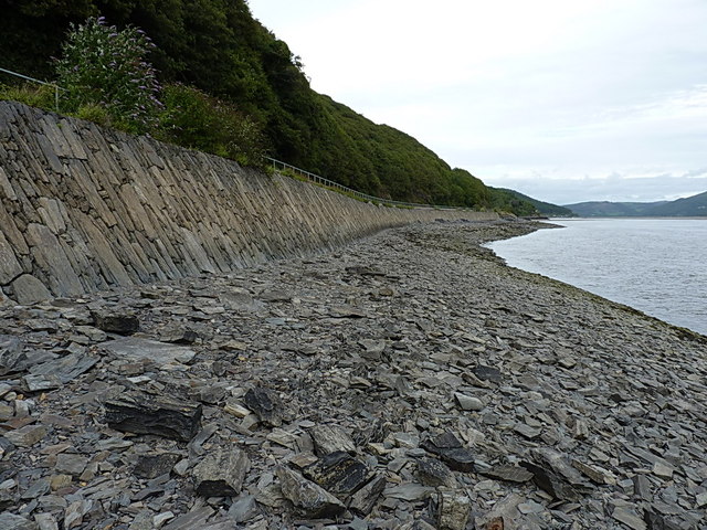
Image: © Richard Law Taken: 24 Aug 2013
At low tide, a narrow strip of land runs along between the edge of the railway embankment and the Dyfi. This would be un-walkable at high tide.
Images are licensed for reuse under creativecommons.org/licenses/by-sa/2.0
Image Location
Latitude
52.550358
Longitude
-4.003529