Chipstead Bottom looking towards 'The Ramblers Rest'
Introduction
The photograph on this page of Chipstead Bottom looking towards 'The Ramblers Rest' by Marathon as part of the Geograph project.
The Geograph project started in 2005 with the aim of publishing, organising and preserving representative images for every square kilometre of Great Britain, Ireland and the Isle of Man.

There are currently over 7.5m images from over 14,400 individuals and you can help contribute to the project by visiting https://www.geograph.org.uk
Chipstead Bottom looking towards 'The Ramblers Rest'
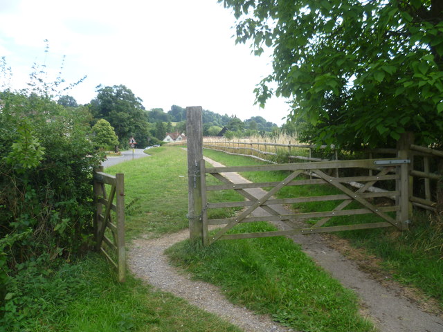
Image: © Marathon Taken: 14 Aug 2013
Outwood Lane has no pavements through the stretch between Hazelwood Lane and here so it is handy to have a tarmac footpath through Chipstead Bottom on the other side of the hedge from Outwood Lane. Here the path returns to running next to the road on its way to The Ramblers Rest ahead.
Images are licensed for reuse under creativecommons.org/licenses/by-sa/2.0
Image Location
Latitude
51.303021
Longitude
-0.174988