Shepherds Mead
Introduction
The photograph on this page of Shepherds Mead by Simon Carey as part of the Geograph project.
The Geograph project started in 2005 with the aim of publishing, organising and preserving representative images for every square kilometre of Great Britain, Ireland and the Isle of Man.

There are currently over 7.5m images from over 14,400 individuals and you can help contribute to the project by visiting https://www.geograph.org.uk
Shepherds Mead
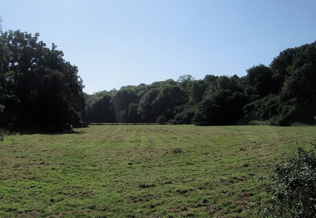
Image: © Simon Carey Taken: 20 Aug 2013
The name of the field according to Warningcamp's 1840 tithe map viewed from Image The small valley heads eastwards via Image then continues into Image The woods in view are The Woodleighs on the left and South Woodleighs to the right.
Images are licensed for reuse under creativecommons.org/licenses/by-sa/2.0
Image Location
Latitude
50.858013
Longitude
-0.529445