Westbourne Lane
Introduction
The photograph on this page of Westbourne Lane by Tony Atkin as part of the Geograph project.
The Geograph project started in 2005 with the aim of publishing, organising and preserving representative images for every square kilometre of Great Britain, Ireland and the Isle of Man.

There are currently over 7.5m images from over 14,400 individuals and you can help contribute to the project by visiting https://www.geograph.org.uk
Westbourne Lane
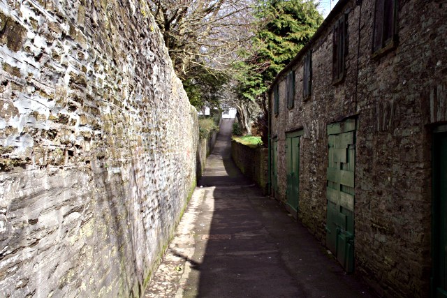
Image: © Tony Atkin Taken: 10 Mar 2007
Westbourne Lane is a narrow alleyway running between Westbourne Gardens on the left and what used to be the cattle market but is now a car park further along on the right.
Images are licensed for reuse under creativecommons.org/licenses/by-sa/2.0
Image Location
Latitude
50.454137
Longitude
-4.467982