Tributary of the Carnock Burn
Introduction
The photograph on this page of Tributary of the Carnock Burn by Lairich Rig as part of the Geograph project.
The Geograph project started in 2005 with the aim of publishing, organising and preserving representative images for every square kilometre of Great Britain, Ireland and the Isle of Man.

There are currently over 7.5m images from over 14,400 individuals and you can help contribute to the project by visiting https://www.geograph.org.uk
Tributary of the Carnock Burn
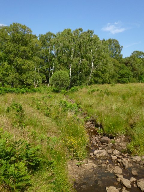
Image: © Lairich Rig Taken: 19 Jul 2013
The picture was taken from the track to Finnich Toll. The map shows this tributary; not far ahead, it turns to follow the edge of the woods.
Images are licensed for reuse under creativecommons.org/licenses/by-sa/2.0
Image Location
Latitude
56.024495
Longitude
-4.433741