A4048 along the route of a former railway, Tredegar
Introduction
The photograph on this page of A4048 along the route of a former railway, Tredegar by Jaggery as part of the Geograph project.
The Geograph project started in 2005 with the aim of publishing, organising and preserving representative images for every square kilometre of Great Britain, Ireland and the Isle of Man.

There are currently over 7.5m images from over 14,400 individuals and you can help contribute to the project by visiting https://www.geograph.org.uk
A4048 along the route of a former railway, Tredegar
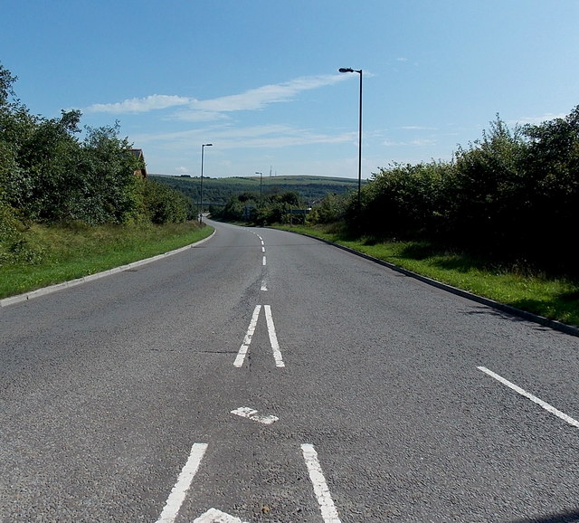
Image: © Jaggery Taken: 22 Aug 2013
Viewed from Ashvale Roundabout. The A4048 here follows the route of a dismantled railway line. Nearly a kilometre ahead is the site formerly occupied by Sirhowy railway station, where passenger services ceased in 1960.
Images are licensed for reuse under creativecommons.org/licenses/by-sa/2.0
Image Location
Latitude
51.78353
Longitude
-3.250715