Rhondda Fach Trail along the edge of Porth railway station
Introduction
The photograph on this page of Rhondda Fach Trail along the edge of Porth railway station by Jaggery as part of the Geograph project.
The Geograph project started in 2005 with the aim of publishing, organising and preserving representative images for every square kilometre of Great Britain, Ireland and the Isle of Man.

There are currently over 7.5m images from over 14,400 individuals and you can help contribute to the project by visiting https://www.geograph.org.uk
Rhondda Fach Trail along the edge of Porth railway station
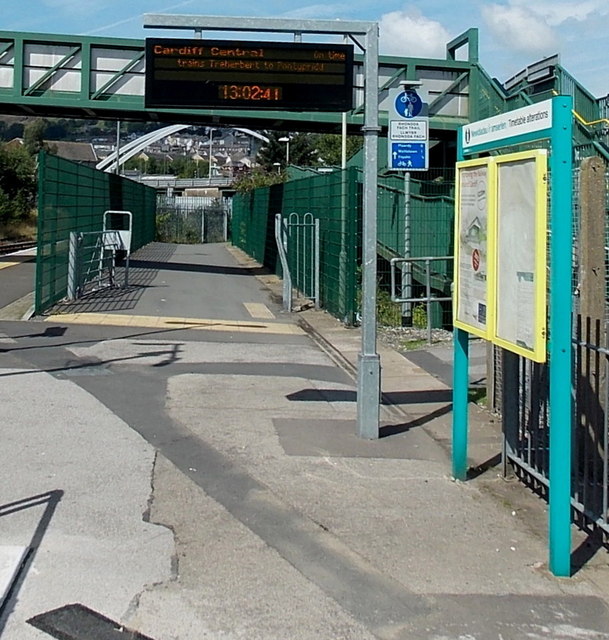
Image: © Jaggery Taken: 20 Aug 2013
The Rhondda Fach Trail, a footpath and cycleway, passes from Syphon Street http://www.geograph.org.uk/photo/3615238 to this route between the green fences alongside the railway station. A blue sign behind the noticeboards gives the distances to Maerdy, Wattstown and Ynyshir along the Rhondda Fach Trail.
Images are licensed for reuse under creativecommons.org/licenses/by-sa/2.0
Image Location
Latitude
51.612796
Longitude
-3.407918