Belton Ashes
Introduction
The photograph on this page of Belton Ashes by Kate Jewell as part of the Geograph project.
The Geograph project started in 2005 with the aim of publishing, organising and preserving representative images for every square kilometre of Great Britain, Ireland and the Isle of Man.

There are currently over 7.5m images from over 14,400 individuals and you can help contribute to the project by visiting https://www.geograph.org.uk
Belton Ashes
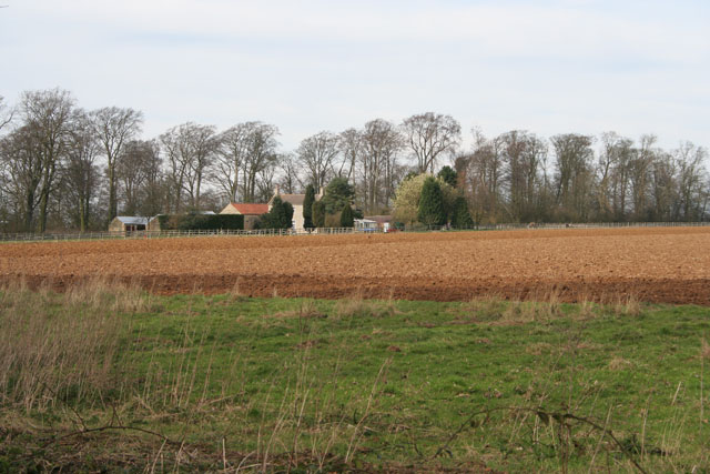
Image: © Kate Jewell Taken: 11 Mar 2007
This farmhouse is tucked against the western boundary of the featured square. The woodland behind is owned by the National Trust and forms the northeast boundary of the Belton Estate. The fields in front stretch right across this square to the east. The pale green tree behind the conifer in the centre of the photograph is a willow bursting into early leaf.
Images are licensed for reuse under creativecommons.org/licenses/by-sa/2.0
Image Location
Latitude
52.946001
Longitude
-0.586295