Irons Bottom Road
Introduction
The photograph on this page of Irons Bottom Road by Ian Capper as part of the Geograph project.
The Geograph project started in 2005 with the aim of publishing, organising and preserving representative images for every square kilometre of Great Britain, Ireland and the Isle of Man.

There are currently over 7.5m images from over 14,400 individuals and you can help contribute to the project by visiting https://www.geograph.org.uk
Irons Bottom Road
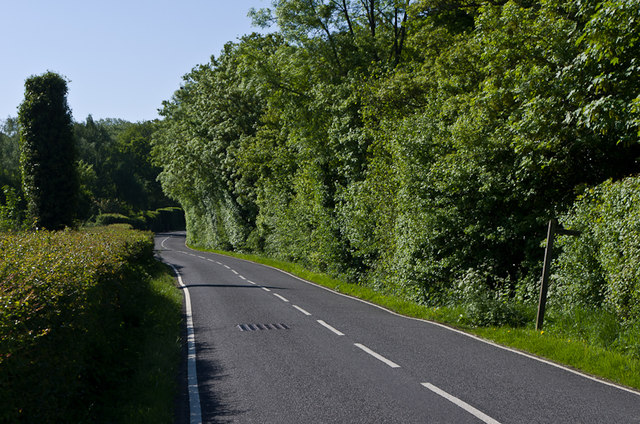
Image: © Ian Capper Taken: 27 May 2013
The original Brighton Road, before the more direct route (now the A217) was built, itself superseded by the current A23 in 1818.
Images are licensed for reuse under creativecommons.org/licenses/by-sa/2.0
Image Location
Latitude
51.191791
Longitude
-0.211229