Tylorstown information board
Introduction
The photograph on this page of Tylorstown information board by Jaggery as part of the Geograph project.
The Geograph project started in 2005 with the aim of publishing, organising and preserving representative images for every square kilometre of Great Britain, Ireland and the Isle of Man.

There are currently over 7.5m images from over 14,400 individuals and you can help contribute to the project by visiting https://www.geograph.org.uk
Tylorstown information board
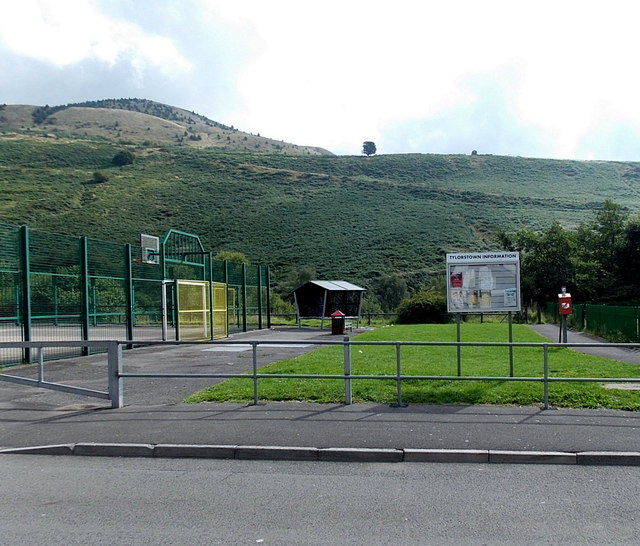
Image: © Jaggery Taken: 20 Aug 2013
Viewed across Edmund Street. The board is between a children's play area http://www.geograph.org.uk/photo/3612848 on the right and a multi-use sports area on the left.
Images are licensed for reuse under creativecommons.org/licenses/by-sa/2.0
Image Location
Latitude
51.648855
Longitude
-3.430139