Blaenllechau boundary sign
Introduction
The photograph on this page of Blaenllechau boundary sign by Jaggery as part of the Geograph project.
The Geograph project started in 2005 with the aim of publishing, organising and preserving representative images for every square kilometre of Great Britain, Ireland and the Isle of Man.

There are currently over 7.5m images from over 14,400 individuals and you can help contribute to the project by visiting https://www.geograph.org.uk
Blaenllechau boundary sign
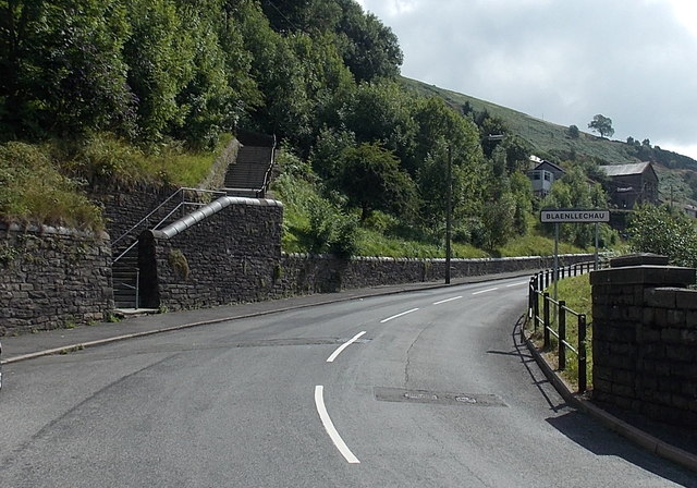
Image: © Jaggery Taken: 20 Aug 2013
Viewed across Station Road. The Ferndale boundary sign is on the opposite side of the Blaenllechau boundary sign on the right. Blaenllechau is a small village in the Rhondda Fach valley in the county borough of Rhondda Cynon Taf.
Images are licensed for reuse under creativecommons.org/licenses/by-sa/2.0
Image Location
Latitude
51.66476
Longitude
-3.445678