Fore Street, Holsworthy
Introduction
The photograph on this page of Fore Street, Holsworthy by Derek Harper as part of the Geograph project.
The Geograph project started in 2005 with the aim of publishing, organising and preserving representative images for every square kilometre of Great Britain, Ireland and the Isle of Man.

There are currently over 7.5m images from over 14,400 individuals and you can help contribute to the project by visiting https://www.geograph.org.uk
Fore Street, Holsworthy
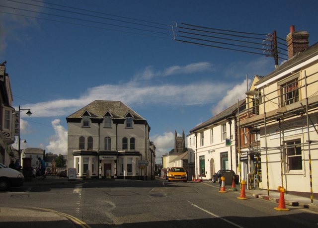
Image: © Derek Harper Taken: 12 Aug 2013
A similar view to Image Banks ahead and right. The listed http://list.english-heritage.org.uk/resultsingle.aspx?uid=1104940&searchtype=mapsearch building on the right is under scaffolding.
Images are licensed for reuse under creativecommons.org/licenses/by-sa/2.0
Image Location
Latitude
50.809553
Longitude
-4.352671