River Brent: Greenford Bridge
Introduction
The photograph on this page of River Brent: Greenford Bridge by Nigel Cox as part of the Geograph project.
The Geograph project started in 2005 with the aim of publishing, organising and preserving representative images for every square kilometre of Great Britain, Ireland and the Isle of Man.

There are currently over 7.5m images from over 14,400 individuals and you can help contribute to the project by visiting https://www.geograph.org.uk
River Brent: Greenford Bridge
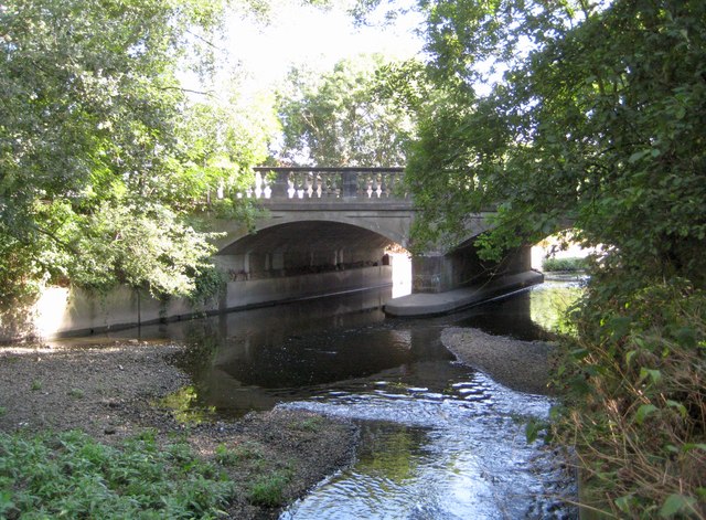
Image: © Nigel Cox Taken: 18 Aug 2013
Greenford Bridge takes the B455 Ruislip Road East over the river. Prior to the straightening of the river between the wars the bridge was some way to the east of its present location. Large shoals of silt have built over the years here on the downstream side of the bridge.
Images are licensed for reuse under creativecommons.org/licenses/by-sa/2.0
Image Location
Latitude
51.527089
Longitude
-0.349129