Building work at Staple Farm
Introduction
The photograph on this page of Building work at Staple Farm by John Baker as part of the Geograph project.
The Geograph project started in 2005 with the aim of publishing, organising and preserving representative images for every square kilometre of Great Britain, Ireland and the Isle of Man.

There are currently over 7.5m images from over 14,400 individuals and you can help contribute to the project by visiting https://www.geograph.org.uk
Building work at Staple Farm
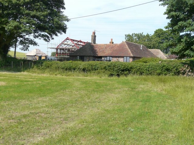
Image: © John Baker Taken: 21 Jul 2013
Seen from the North Downs Way. Planning permission was approved with conditions by Folkestone and Hythe District Council under application number Y07/0246/SH for the “change of use and conversion of existing barn to residential use with new roof of increased height to main building and replacement roof to single storey element following demolition of existing garage, stabling, kennels and link extension together with erection of a detached building to provide a double garage workshop and stables served by the existing vehicular access”. This was Image after the work had been completed.
Images are licensed for reuse under creativecommons.org/licenses/by-sa/2.0
Image Location
Latitude
51.113367
Longitude
1.077054