Smethwick Hall Farm
Introduction
The photograph on this page of Smethwick Hall Farm by David Weston as part of the Geograph project.
The Geograph project started in 2005 with the aim of publishing, organising and preserving representative images for every square kilometre of Great Britain, Ireland and the Isle of Man.

There are currently over 7.5m images from over 14,400 individuals and you can help contribute to the project by visiting https://www.geograph.org.uk
Smethwick Hall Farm
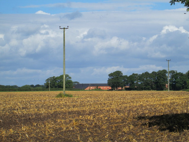
Image: © David Weston Taken: 18 Aug 2013
A view of Smethwick Hall Farm, from Smethwick Lane. In the distance is a large building which is a barn conversion; the farmhouse building is adjacent, probably behind trees to the right of the barn.
Images are licensed for reuse under creativecommons.org/licenses/by-sa/2.0
Image Location
Latitude
53.168332
Longitude
-2.297936