View over the site of the Battle of Naseby
Introduction
The photograph on this page of View over the site of the Battle of Naseby by Philip Halling as part of the Geograph project.
The Geograph project started in 2005 with the aim of publishing, organising and preserving representative images for every square kilometre of Great Britain, Ireland and the Isle of Man.

There are currently over 7.5m images from over 14,400 individuals and you can help contribute to the project by visiting https://www.geograph.org.uk
View over the site of the Battle of Naseby
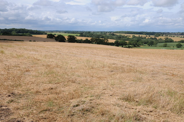
Image: © Philip Halling Taken: 15 Aug 2013
This view over the site of the Battle of Naseby is roughly that viewed by Sir Thomas Fairfax on 14 June 1645. The official viewpoint is just to the south of a realigned road which now obscures much of this view.
Images are licensed for reuse under creativecommons.org/licenses/by-sa/2.0
Image Location
Latitude
52.406284
Longitude
-0.976413