Rails once ran - Edgerley, Shropshire
Introduction
The photograph on this page of Rails once ran - Edgerley, Shropshire by Martin Richard Phelan as part of the Geograph project.
The Geograph project started in 2005 with the aim of publishing, organising and preserving representative images for every square kilometre of Great Britain, Ireland and the Isle of Man.

There are currently over 7.5m images from over 14,400 individuals and you can help contribute to the project by visiting https://www.geograph.org.uk
Rails once ran - Edgerley, Shropshire
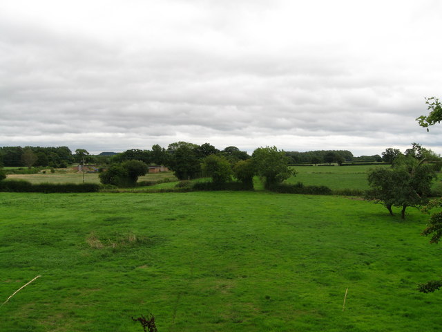
Image: © Martin Richard Phelan Taken: 17 Aug 2013
Looking eastwards from the bridge in Edgerley 1, the long-abandoned former route of the Shropshire & Montgomeryshire Railway - nicknamed the Potts - can be seen. Passing through the gate which is seen ahead in the centre of the picture, the line ran through the present Nesscliffe Military Training Area - no public access - to the station house, a rebuilt one, at Shrawardine (locally pronounced Shraden). There are a number of books available which give a history of this former line. Time taken 3.08 pm BST (British Summer Time). Image Image
Images are licensed for reuse under creativecommons.org/licenses/by-sa/2.0
Image Location
Latitude
52.77192
Longitude
-2.979731