The West Mendip Way
Introduction
The photograph on this page of The West Mendip Way by Neil Owen as part of the Geograph project.
The Geograph project started in 2005 with the aim of publishing, organising and preserving representative images for every square kilometre of Great Britain, Ireland and the Isle of Man.

There are currently over 7.5m images from over 14,400 individuals and you can help contribute to the project by visiting https://www.geograph.org.uk
The West Mendip Way
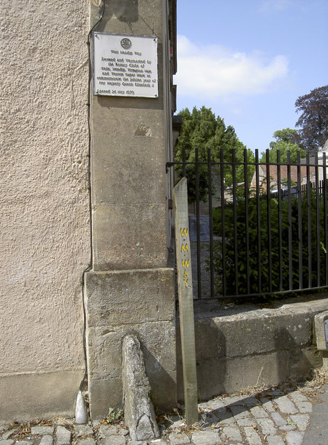
Image: © Neil Owen Taken: 4 Jul 2013
The plaque states that the path was opened in 1979 to mark the (silver) Jubilee, with generous help from a number of local Rotary clubs.
Images are licensed for reuse under creativecommons.org/licenses/by-sa/2.0
Image Location


Leaflet Map data © OpenStreetMap
Latitude
51.211775
Longitude
-2.646608