Shepherds Lane west of New Barn Farm
Introduction
The photograph on this page of Shepherds Lane west of New Barn Farm by Jim Champion as part of the Geograph project.
The Geograph project started in 2005 with the aim of publishing, organising and preserving representative images for every square kilometre of Great Britain, Ireland and the Isle of Man.

There are currently over 7.5m images from over 14,400 individuals and you can help contribute to the project by visiting https://www.geograph.org.uk
Shepherds Lane west of New Barn Farm
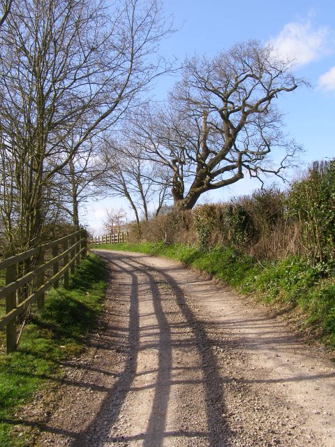
Image: © Jim Champion Taken: 10 Mar 2007
Shepherds Lane is a public bridleway and part of the Monarch's Way trail between Salisbury and Winchester cathedrals. The tree on the right of the lane has a fantastic lean.
Images are licensed for reuse under creativecommons.org/licenses/by-sa/2.0
Image Location


Leaflet Map data © OpenStreetMap
Latitude
51.021483
Longitude
-1.349668