Grain Road
Introduction
The photograph on this page of Grain Road by Marathon as part of the Geograph project.
The Geograph project started in 2005 with the aim of publishing, organising and preserving representative images for every square kilometre of Great Britain, Ireland and the Isle of Man.

There are currently over 7.5m images from over 14,400 individuals and you can help contribute to the project by visiting https://www.geograph.org.uk
Grain Road
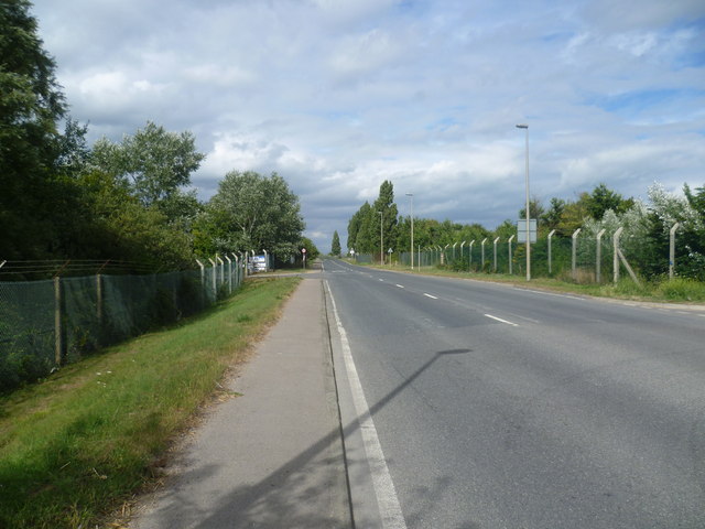
Image: © Marathon Taken: 15 Aug 2013
The main road across the Hoo Peninsula is the A228 but after Grain Crossing it becomes the B2001 and only leads to Grain and the site of the former Grain Power Station. Here it passes through an area which until 1982 was home to a major oil refinery. Construction of this facility for British Petroleum (now BP) took from 1948 to 1952. Most of this area is allocated for industrial and warehousing use under the Thames Gateway project and high fences line either side of the road.
Images are licensed for reuse under creativecommons.org/licenses/by-sa/2.0
Image Location
Latitude
51.446885
Longitude
0.693684