Carnkie Methodist Church
Introduction
The photograph on this page of Carnkie Methodist Church by Sheila Russell as part of the Geograph project.
The Geograph project started in 2005 with the aim of publishing, organising and preserving representative images for every square kilometre of Great Britain, Ireland and the Isle of Man.

There are currently over 7.5m images from over 14,400 individuals and you can help contribute to the project by visiting https://www.geograph.org.uk
Carnkie Methodist Church
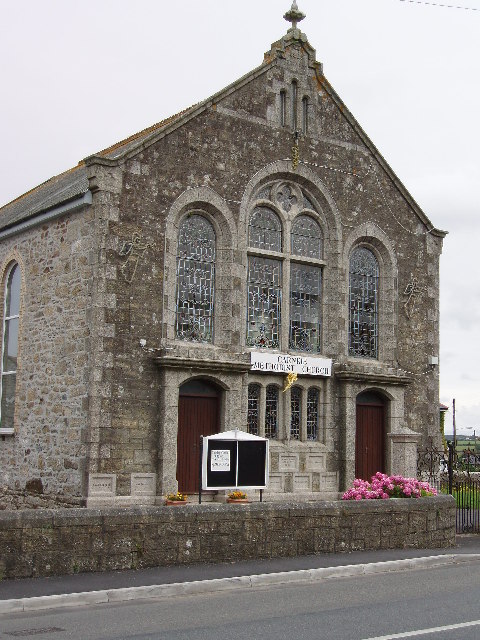
Image: © Sheila Russell Taken: 6 Aug 2005
In the village of Carnkie just south of Carn Brea hill.
Images are licensed for reuse under creativecommons.org/licenses/by-sa/2.0
Image Location


Leaflet Map data © OpenStreetMap
Latitude
50.210122
Longitude
-5.245942