Welfare Hall Tylorstown
Introduction
The photograph on this page of Welfare Hall Tylorstown by Jaggery as part of the Geograph project.
The Geograph project started in 2005 with the aim of publishing, organising and preserving representative images for every square kilometre of Great Britain, Ireland and the Isle of Man.

There are currently over 7.5m images from over 14,400 individuals and you can help contribute to the project by visiting https://www.geograph.org.uk
Welfare Hall Tylorstown
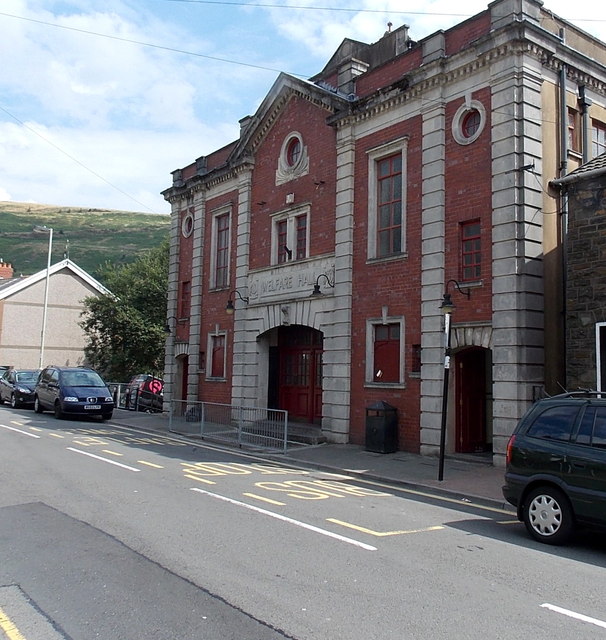
Image: © Jaggery Taken: 8 Aug 2013
Viewed across East Road. Built as a Miners' Welfare Hall, now used by many local groups. Users and usages include • St John Ambulance • Citizens Advice Bureau • OAP Club • Job Club • Mothers and toddlers • Community contact point • Bingo • Deaf Club meetings • Snooker and Pool
Images are licensed for reuse under creativecommons.org/licenses/by-sa/2.0
Image Location
Latitude
51.648932
Longitude
-3.431153