Footpath off Ratcliffe Highway
Introduction
The photograph on this page of Footpath off Ratcliffe Highway by Marathon as part of the Geograph project.
The Geograph project started in 2005 with the aim of publishing, organising and preserving representative images for every square kilometre of Great Britain, Ireland and the Isle of Man.

There are currently over 7.5m images from over 14,400 individuals and you can help contribute to the project by visiting https://www.geograph.org.uk
Footpath off Ratcliffe Highway
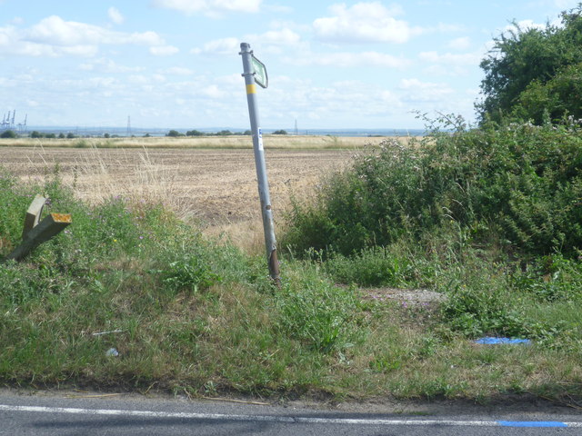
Image: © Marathon Taken: 15 Aug 2013
Opposite Shakespeare Farm Road, this footpath leads to Hoppers Lane. The cranes of Thamesport on the Isle of Grain can be seen on the far left horizon.
Images are licensed for reuse under creativecommons.org/licenses/by-sa/2.0
Image Location
Latitude
51.4628
Longitude
0.614425