Elms Farm House
Introduction
The photograph on this page of Elms Farm House by Ken Brockway as part of the Geograph project.
The Geograph project started in 2005 with the aim of publishing, organising and preserving representative images for every square kilometre of Great Britain, Ireland and the Isle of Man.

There are currently over 7.5m images from over 14,400 individuals and you can help contribute to the project by visiting https://www.geograph.org.uk
Elms Farm House
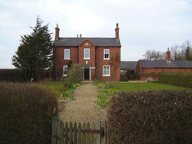
Image: © Ken Brockway Taken: 10 Mar 2007
See also Thorns Farm in the next square east. An identical building dated 1852. Even the outbuilding to the right looks the same.
Images are licensed for reuse under creativecommons.org/licenses/by-sa/2.0
Image Location
Latitude
52.948334
Longitude
-0.401508