Farm at Camnuskenneth
Introduction
The photograph on this page of Farm at Camnuskenneth by Bill Boaden as part of the Geograph project.
The Geograph project started in 2005 with the aim of publishing, organising and preserving representative images for every square kilometre of Great Britain, Ireland and the Isle of Man.

There are currently over 7.5m images from over 14,400 individuals and you can help contribute to the project by visiting https://www.geograph.org.uk
Farm at Camnuskenneth
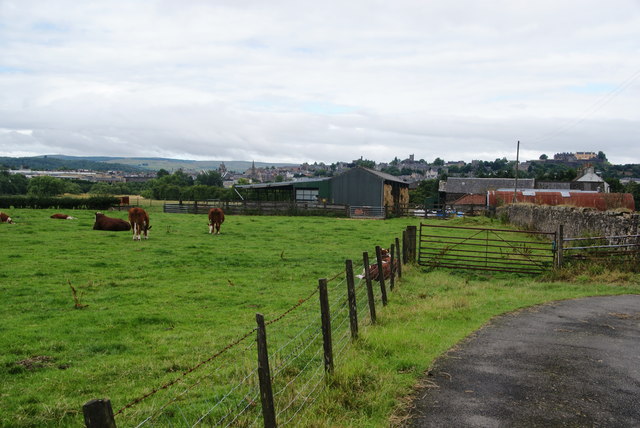
Image: © Bill Boaden Taken: 9 Aug 2013
Farm on the other side of the Forth from Stirling, though Stirling is clearly visible ahead.
Images are licensed for reuse under creativecommons.org/licenses/by-sa/2.0
Image Location
Latitude
56.122718
Longitude
-3.919468