Old Bury Road
Introduction
The photograph on this page of Old Bury Road by Keith Evans as part of the Geograph project.
The Geograph project started in 2005 with the aim of publishing, organising and preserving representative images for every square kilometre of Great Britain, Ireland and the Isle of Man.

There are currently over 7.5m images from over 14,400 individuals and you can help contribute to the project by visiting https://www.geograph.org.uk
Old Bury Road
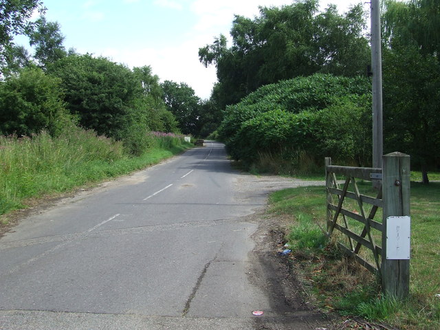
Image: © Keith Evans Taken: 15 Aug 2013
Marked on maps now as the Old Bury Road at Stuston this bit of road was the former A.143 before it bypassed the village of Stuston, Suffolk in the 1980s.
Images are licensed for reuse under creativecommons.org/licenses/by-sa/2.0
Image Location
Latitude
52.361012
Longitude
1.1325