Farmhouse at Red House Farm
Introduction
The photograph on this page of Farmhouse at Red House Farm by Robert Graham as part of the Geograph project.
The Geograph project started in 2005 with the aim of publishing, organising and preserving representative images for every square kilometre of Great Britain, Ireland and the Isle of Man.

There are currently over 7.5m images from over 14,400 individuals and you can help contribute to the project by visiting https://www.geograph.org.uk
Farmhouse at Red House Farm
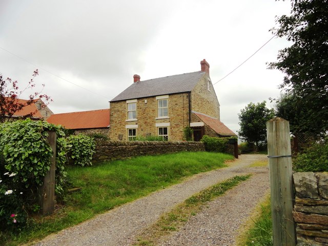
Image: © Robert Graham Taken: 10 Jul 2013
This farm is a short way west of the village of Bearpark. It was built in the 1860's for Ushaw College.
Images are licensed for reuse under creativecommons.org/licenses/by-sa/2.0
Image Location
Latitude
54.783728
Longitude
-1.646235