Junction of single track roads, with cow field
Introduction
The photograph on this page of Junction of single track roads, with cow field by Ruth Sharville as part of the Geograph project.
The Geograph project started in 2005 with the aim of publishing, organising and preserving representative images for every square kilometre of Great Britain, Ireland and the Isle of Man.

There are currently over 7.5m images from over 14,400 individuals and you can help contribute to the project by visiting https://www.geograph.org.uk
Junction of single track roads, with cow field
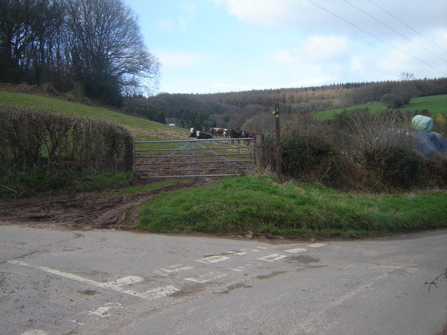
Image: © Ruth Sharville Taken: 10 Mar 2007
The footpath through the cow field (a mud path at time of photo, as you can see) leads to Wentwood Gate. Wentwood itself fills the background of the shot.
Images are licensed for reuse under creativecommons.org/licenses/by-sa/2.0
Image Location
Latitude
51.627338
Longitude
-2.84941