Landslips, Durlston Bay
Introduction
The photograph on this page of Landslips, Durlston Bay by Ian Andrews as part of the Geograph project.
The Geograph project started in 2005 with the aim of publishing, organising and preserving representative images for every square kilometre of Great Britain, Ireland and the Isle of Man.

There are currently over 7.5m images from over 14,400 individuals and you can help contribute to the project by visiting https://www.geograph.org.uk
Landslips, Durlston Bay
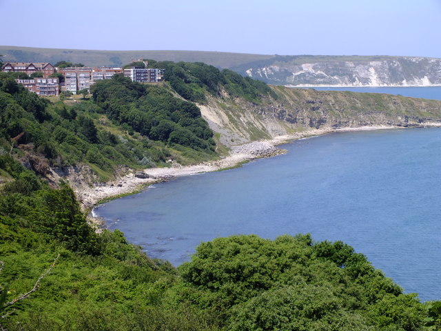
Image: © Ian Andrews Taken: 11 Jul 2013
The softer clays and greensands is prone to landslips. The most recent slip is on the left of the picture, marked by an area of dead and dying trees.
Images are licensed for reuse under creativecommons.org/licenses/by-sa/2.0
Image Location
Latitude
50.602162
Longitude
-1.9536