Footpath near High Halstow
Introduction
The photograph on this page of Footpath near High Halstow by Marathon as part of the Geograph project.
The Geograph project started in 2005 with the aim of publishing, organising and preserving representative images for every square kilometre of Great Britain, Ireland and the Isle of Man.

There are currently over 7.5m images from over 14,400 individuals and you can help contribute to the project by visiting https://www.geograph.org.uk
Footpath near High Halstow
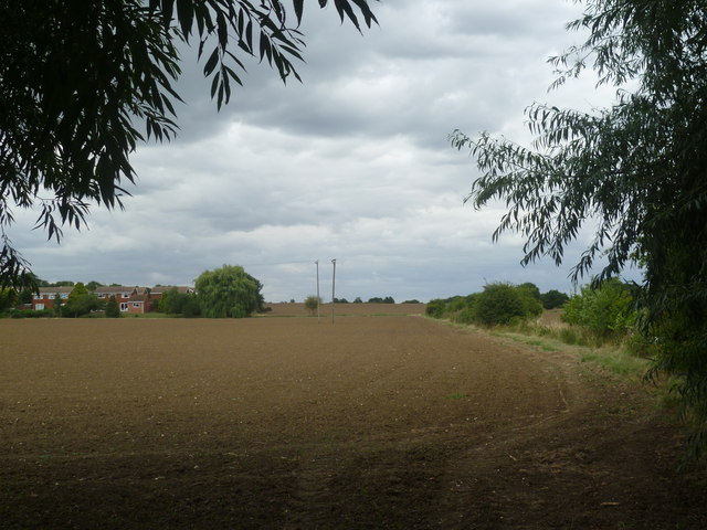
Image: © Marathon Taken: 13 Aug 2013
This footpath leads away from Britannia Road and turns right just ahead to reach Walnut Tree Farm and Clint Street. The houses on the left are in Longfield Avenue at High Halstow.
Images are licensed for reuse under creativecommons.org/licenses/by-sa/2.0
Image Location
Latitude
51.451948
Longitude
0.568319