Former Ironstone Quarry
Introduction
The photograph on this page of Former Ironstone Quarry by Alan Murray-Rust as part of the Geograph project.
The Geograph project started in 2005 with the aim of publishing, organising and preserving representative images for every square kilometre of Great Britain, Ireland and the Isle of Man.

There are currently over 7.5m images from over 14,400 individuals and you can help contribute to the project by visiting https://www.geograph.org.uk
Former Ironstone Quarry
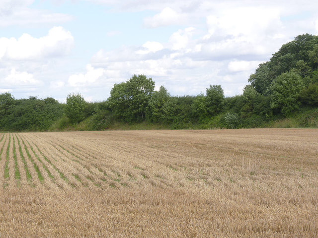
Image: © Alan Murray-Rust Taken: 11 Aug 2013
This was No.1 or Pearsons Quarry of the Harlaxton Quarries system, and was worked from 1943 to 1951. The extent of extraction can be seen from the difference in level between the field and the road which runs at the top of the bank in the background.
Images are licensed for reuse under creativecommons.org/licenses/by-sa/2.0
Image Location
Latitude
52.870393
Longitude
-0.687999