Mews Lane
Introduction
The photograph on this page of Mews Lane by Lairich Rig as part of the Geograph project.
The Geograph project started in 2005 with the aim of publishing, organising and preserving representative images for every square kilometre of Great Britain, Ireland and the Isle of Man.

There are currently over 7.5m images from over 14,400 individuals and you can help contribute to the project by visiting https://www.geograph.org.uk
Mews Lane
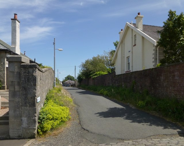
Image: © Lairich Rig Taken: 8 Jul 2013
The lane is viewed here from the point where it begins on Wood Street. At its other end, it joins Newark Street.
Images are licensed for reuse under creativecommons.org/licenses/by-sa/2.0
Image Location
Latitude
55.960543
Longitude
-4.788005