Baird Close from Slough Lane, Kingsbury
Introduction
The photograph on this page of Baird Close from Slough Lane, Kingsbury by David Howard as part of the Geograph project.
The Geograph project started in 2005 with the aim of publishing, organising and preserving representative images for every square kilometre of Great Britain, Ireland and the Isle of Man.

There are currently over 7.5m images from over 14,400 individuals and you can help contribute to the project by visiting https://www.geograph.org.uk
Baird Close from Slough Lane, Kingsbury
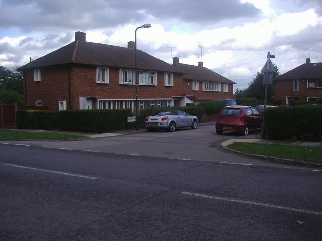
Image: © David Howard Taken: 15 Aug 2013
These were council houses and continue along Slough Lane to the right, and all appear to have been fitted with the same UPVC double glazing as none have the original windows.
Images are licensed for reuse under creativecommons.org/licenses/by-sa/2.0
Image Location
Latitude
51.580391
Longitude
-0.266517