St Andrew's school
Introduction
The photograph on this page of St Andrew's school by Neil Owen as part of the Geograph project.
The Geograph project started in 2005 with the aim of publishing, organising and preserving representative images for every square kilometre of Great Britain, Ireland and the Isle of Man.

There are currently over 7.5m images from over 14,400 individuals and you can help contribute to the project by visiting https://www.geograph.org.uk
St Andrew's school
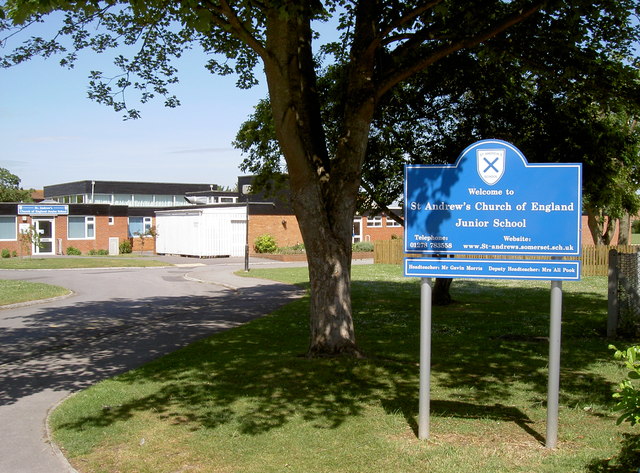
Image: © Neil Owen Taken: 29 Jun 2013
The school today is in Dunstan's Road, set in a large green area. It originally began in 1856 and was at the top of College Street, before relocating in 1973.
Images are licensed for reuse under creativecommons.org/licenses/by-sa/2.0
Image Location
Latitude
51.23731
Longitude
-2.993328